Germany is one of Europe’s most recognizable countries, but its modern borders look very different from those of the German Empire that existed before World War I. Historical maps reveal a much larger German state, stretching across areas that today belong to several different European countries.
A comparison of historical and modern territory suggests that present-day Germany occupies roughly 66% of the area of the German Empire’s original European territory. This difference reflects more than a century of political change, two devastating world wars, international agreements, and the emergence of new European borders.
So, what happened to the land that once belonged to Germany? And how did the country become the shape we recognize today?
1. The German Empire Was Established in 1871
The modern German Empire was officially established in January 1871, following the victory of the German states and Prussia in the Franco-Prussian War.
Before unification, the German-speaking world consisted of numerous independent kingdoms, duchies, principalities, and other states. Prussia gradually became the dominant power and played the leading role in bringing many of these territories together.
Under Emperor Wilhelm I, the German Empire became a unified political state. Otto von Bismarck, the Prussian prime minister, was its most influential architect.
The empire covered approximately 540,179 square kilometers according to historical geographical data compiled by the Institute of European History in Mainz.
Its territory included areas that are now located in modern Germany, as well as parts of present-day Poland, France, Denmark, Russia, and other neighboring countries.
It also developed into a major European industrial, military, and political power.
Importantly, the empire possessed overseas colonies too. However, those colonial possessions are not included in the European land-area comparison shown in the map.
2. World War I Changed Germany’s Borders
The first major territorial transformation came after World War I.
Germany entered the conflict in 1914 as one of Europe’s leading powers. After more than four years of fighting, the country faced military defeat, political instability, and economic difficulties.
The German Empire ended in November 1918 when Emperor Wilhelm II abdicated and the monarchy collapsed.
The victorious Allied powers subsequently negotiated the Treaty of Versailles, which Germany signed on June 28, 1919.
The agreement imposed significant territorial losses.
Some of the most important changes included:
- Alsace-Lorraine: Returned to France after having been part of Germany since 1871.
- West Prussia and Poznan: Large areas were transferred to Poland.
- Northern Schleswig: A portion was transferred to Denmark following a referendum.
- Eupen and Malmedy: Transferred to Belgium.
- Danzig: Became a Free City under the League of Nations rather than remaining part of Germany.
- Memel Territory: Eventually came under Lithuanian control.
Germany also lost all its overseas colonies.
According to the United States Holocaust Memorial Museum, Germany forfeited approximately 13% of its European territory and around one-tenth of its population under the postwar settlement.
These changes significantly reduced Germany’s geographical size and reshaped the political map of Central Europe.
Historical reference: United States Holocaust Memorial Museum – German Territorial Losses, Treaty of Versailles.
3. The Second World War Brought Even Greater Changes
The territorial changes following World War I were not the end of Germany’s geographical transformation.
Under Adolf Hitler, Nazi Germany pursued aggressive territorial expansion during the 1930s and World War II.
However, the country’s defeat in 1945 brought another dramatic change.
After Germany surrendered on May 8, 1945, the Allied powers took control of the country.
The United States, Soviet Union, United Kingdom, and France divided Germany into four occupation zones. Berlin was also divided into four sectors.
One of the most significant postwar territorial changes occurred in eastern Germany.
German territories east of the Oder-Neisse line were placed under Polish or Soviet administration. These included areas that had previously been part of Prussia and other German states.
The eastern territories became associated with modern Poland and the Soviet Union, including the region around Königsberg, now Kaliningrad, which became part of Russia.
Germany also experienced major population displacement as millions of Germans fled or were expelled from territories that came under new administration.
These events changed the map of Central Europe in ways that remain visible today.
Historical reference: German History in Documents and Images – Germany After the Second World War.
4. Germany Was Divided Into Two Countries
The next important chapter began in 1949.
Growing political tensions between the Western Allies and the Soviet Union made it impossible to maintain a unified German government.
As a result, two separate German states emerged.
West Germany, officially the Federal Republic of Germany, was established in the western occupation zones.
East Germany, officially the German Democratic Republic, was established in the Soviet occupation zone.
Berlin remained divided despite being located inside East German territory.
The division became one of the most recognizable symbols of the Cold War.
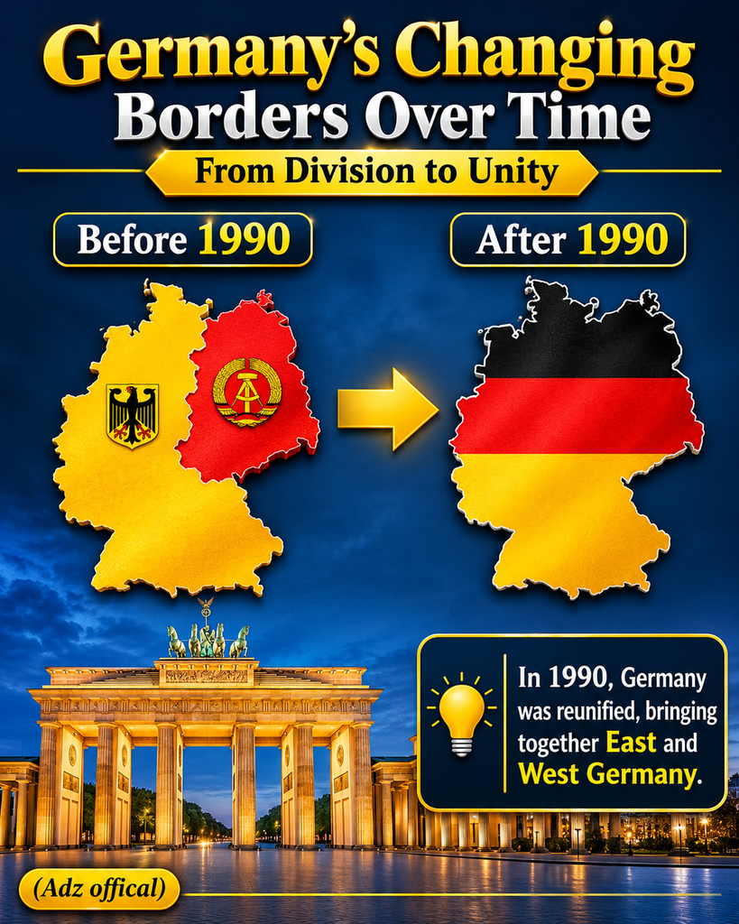
The Berlin Wall, constructed in 1961, physically separated East and West Berlin and restricted movement between the two sides.
For decades, Germany remained divided politically, economically, and geographically.
The two countries developed different political systems and became aligned with opposing international blocs.
This division lasted until the end of the Cold War.
5. German Reunification Changed the Map Again
By the late 1980s, political changes across Eastern Europe began weakening communist governments.
In 1989, the Berlin Wall fell, opening the way for German reunification.
On October 3, 1990, East Germany officially joined the Federal Republic of Germany.
This historic event reunited the country after more than four decades of division.
However, reunification did not restore the much larger borders of the former German Empire.
Instead, the reunited country retained the postwar territorial boundaries that had developed after World War II.
Germany also formally confirmed its existing borders through the agreements associated with reunification.
Today, Germany is a federal parliamentary republic consisting of 16 federal states, with Berlin as its capital.
6. How Much Smaller Is Modern Germany?
The numbers help explain the difference shown in the historical map.
| Historical comparison | Approximate area |
|---|---|
| German Empire’s European territory (1871) | 540,179 km² |
| Present-day Germany | 357,684 km² |
| Difference | 182,495 km² |
Using these figures, modern Germany represents approximately 66.2% of the historical empire’s European area.
In other words, the difference is approximately 33.8%.
These figures are approximate historical comparisons. Different reference years and geographical measurement methods can produce slightly different results.
It is also important to understand that this difference did not happen in a single event. It reflects several generations of border changes, particularly those following the two world wars.
The Treaty of Versailles accounted for an important part of the first reduction, while the post-1945 settlement brought further major territorial changes.
7. Which Modern Countries Include Former German Territories?
Some areas that once belonged to the German Empire are now located within the borders of other European countries.
Examples include:
- Poland: Includes former German territories such as much of Silesia, Pomerania, and parts of former East Prussia.
- France: Alsace-Lorraine returned to French sovereignty after World War I.
- Denmark: Northern Schleswig became part of Denmark following a referendum.
- Belgium: Includes the former German border districts of Eupen and Malmedy.
- Russia: The Kaliningrad region was formerly the northern part of East Prussia.
These regions have different histories, cultures, and modern political identities. Their historical connection to the German Empire does not mean they are currently German territory.
Modern European borders are established through international agreements and recognized sovereignty.
Frequently Asked Questions
1. How large was the German Empire?
The German Empire had approximately 540,179 square kilometers of European territory in 1871, according to historical geographical research.
2. Is modern Germany really 66% of the former empire’s size?
Approximately, yes. Comparing an area of around 357,684 km² for modern Germany with approximately 540,179 km² for the historical empire gives a ratio of roughly 66.2%.
3. When did Germany lose most of its historical territory?
Germany experienced major territorial losses after both World War I and World War II. The 1919 Treaty of Versailles introduced substantial changes, while the post-1945 settlement removed additional eastern territories from German administration.
4. Did Germany regain its former territories when it reunited in 1990?
No. Reunification brought East and West Germany together, but it did not restore the former territories of the German Empire. The reunited country retained its postwar borders.
5. Which countries contain former German imperial territories today?
Parts of the former empire are now within Poland, France, Denmark, Belgium, and Russia, among other countries.
Conclusion: A Map Shaped by More Than a Century of History
Germany’s modern borders tell a story of unification, military defeat, political division, and eventual reunification.
The German Empire established in 1871 was a major European power with a much larger territory than the country that exists today. World War I brought the first major territorial reductions, while World War II and the postwar settlement transformed the map even further.
The reunification of 1990 restored Germany’s political unity, but not its former imperial borders.
That is why historical maps of Germany look so different from modern ones. They reveal how wars, treaties, and political decisions can reshape the geography of an entire continent.